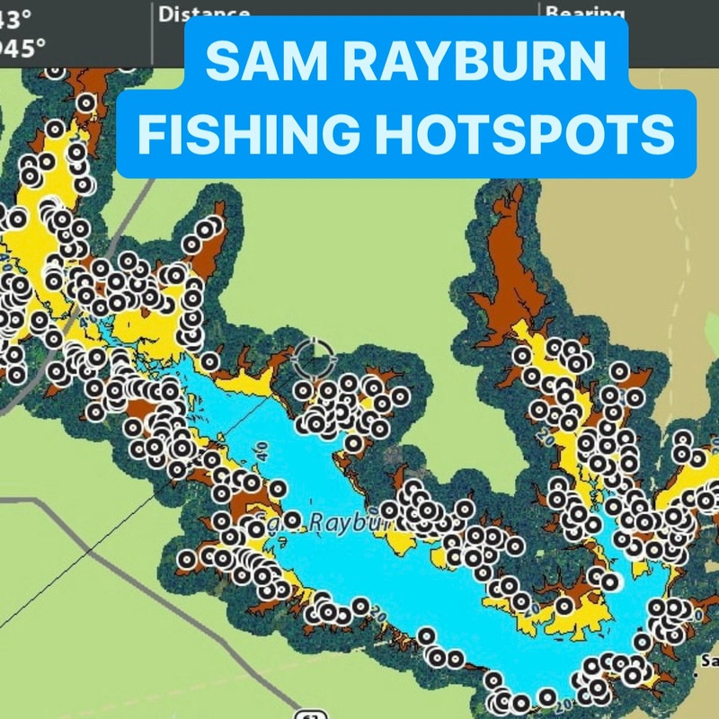

Make fishing easier on Sam Rayburn!
This SD card will plug into your fishfinder to upload FISHING HOTSPOTSknown to hold fishin different areas of the lake, the rest is up to you! The GPS waypoints will show on your chart the EXACT locations of brush piles, rock piles, ledges, points, shallow grass and brush stretches, road beds, and tire piles. Take the guess work out of where to fish on Sam Rayburn. Pair it up with our Sam Rayburn Creek Channelsproduct too! Get the platinum version of this product to receive 50% off of the Sam Rayburn Creek Channels. Add both to your cart to automatically receive discount.
Comes in three versions: Silver, Gold, and Platinum.
Silver – 200 waypoints
Gold – 315 waypoints, 5% off
Platinum – 430 waypoints, 10% off
Available for Humminbird, Lowrance, or Garmin fishfinders.
When multiple brush piles are in an area, a waypoint may be placed between them up to 30 feet away instead of marking 2 or more waypoints.
This product is available as an onlinedownload or as a physical SD card mailed to your door.
For onlinedownloads, have an SD card ready to go. Upon checkout you will be sent the files for download!Learn more about how to upload.
This product is not intended for navigational purposes. This product only serves as a display of fishing hotspots.


Reviews
There are no reviews yet.