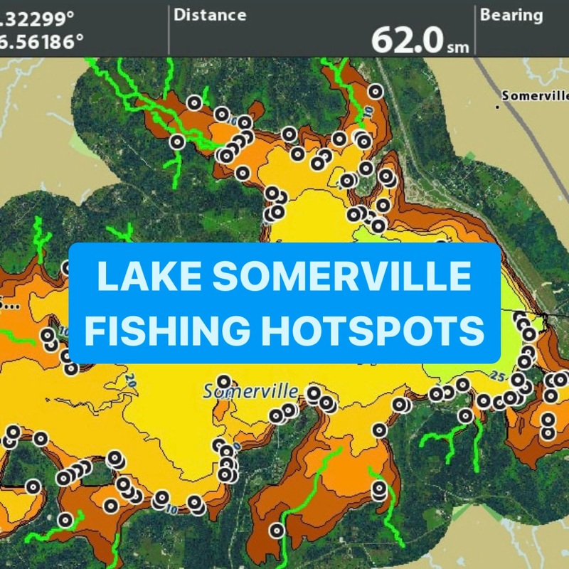

Graph and fish with confidence on Lake Somerville!
This SD card will plug into your fishfinder and upload fishing hotspots known to hold fishin different areas of the lake, the rest is up to you! The GPS waypoints will show on your chart the EXACT locations of brush piles, rock piles, creek channels, ledges, road beds, and tire piles. Take the guess work out of where to fish on Lake Somerville.
These waypoints were marked when the lake was 5 feet below pool so the upper end of the lake is not marked with waypoints, see pictures.
Available for Humminbird, Lowrance, or Garmin fishfinders.
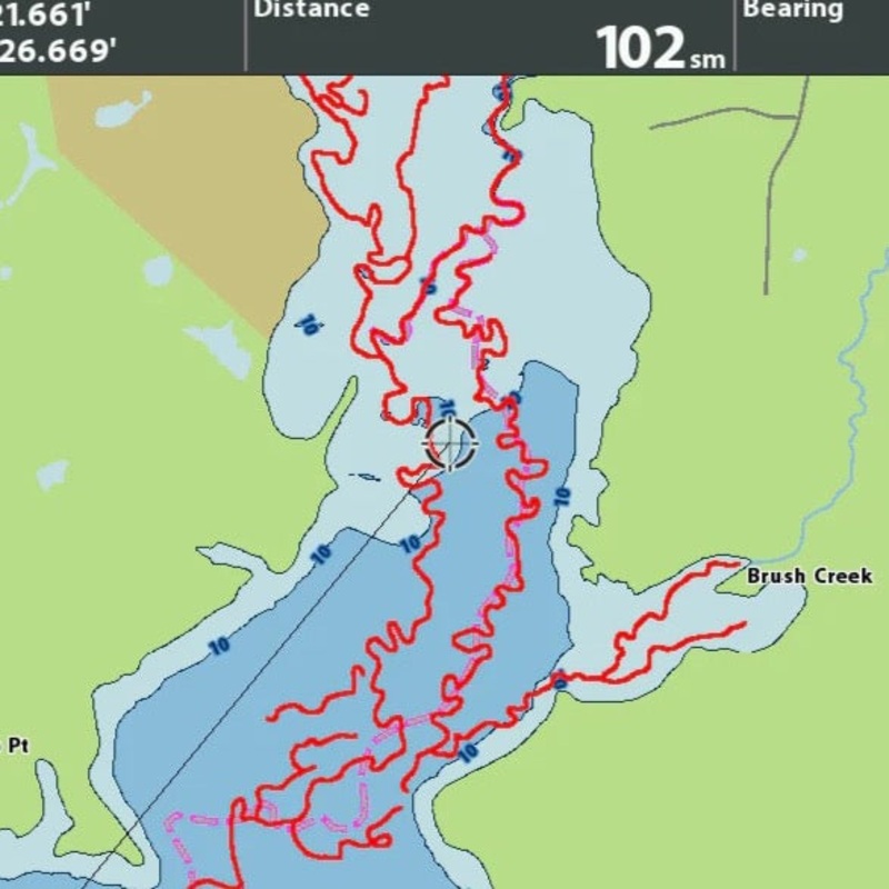
This product features 125+ fishable waypoints and have outlined areas where stumps are.Lowrance and Humminbird products will come with creek channels marked from low water levels. Garmin is not capable of displaying these types of trails.
This product is available as an onlinedownload or as a physical SD card mailed to your door.
For onlinedownloads, have an SD card ready to go. Upon checkout you will be sent the files for download!Learn more about how to upload.


Reviews
There are no reviews yet.